Fujitsu using drones and analytics to protect native endangered species

Fujitsu is announcing a project alongside the New South Wales Office of Environment and Heritage that uses drones to better track the status of endangered flora and fauna.
At the Fujitsu World Tour 2018 in Sydney on Tuesday, head of sustainability for Oceania Lee Stewart detailed Project Owl, which was born out of the idea of using technology to generate better sustainable and environmental outcomes.
"The motivation around endangered species protection Australia is very high; in New South Wales alone there's about 1,000 species of flora and fauna that are endangered," Stewart explained.
"Scientists and governments want to know where they are, where they're thriving, where they're not, where they could potentially be growing better or thriving in certain conditions, and how we can make better planning decisions in the future."
When building out IT and sustainability projects for customers, Stewart said Fujitsu asks where their main source of emissions come from.
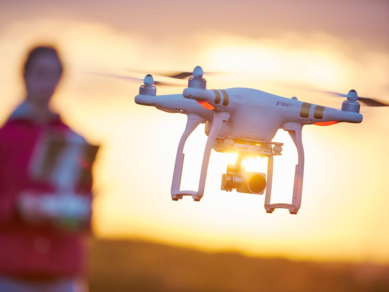
"I was really surprised with the answer -- they said their biggest emissions come from jet fuel," he explained. "I had this idea in my head could we actually replace helicopters with unmanned vehicles at a lower cost, lower emissions, and create a better outcome using video analytics."
One focus of Project Owl is to gain further insight into an endangered type of flora, Acacia dangarensis, confined to the summit and surrounding slopes of Mount Dangar, south of Merriwa, within the Goulburn River National Park in NSW.
"This tree is only found in this area, and we're not sure how many there are and where they're starting to grow, or are their populations increasing or decreasing," Stewart continued.
"First thing is we will fly to survey the area at different altitudes, collecting different levels of imagery, and then from there we're taking all of that data and we're going to spend a lot of time in our labs training the artificial intelligence engine about identifying what that species is and program the video analytics so that when we come back here again we might be able to fly it at a higher, faster altitude, cover more ground in less time."
PREVIOUS AND RELATED COVERAGE
Fujitsu teams up with Vault Systems to go after government cloud
The Protected Cloud product will offer software-, infrastructure-, backup-, and desktop-as-a-service to government users.
Planet analytics: big data, sustainability, and environmental impact
What is the relation between big data applications and sustainability? What is the net effect of improved efficiency versus increased resource consumption, who gets to measure this, and how?
The 5 greenest tech companies in 2018 (TechRepublic)
Tech giants are rethinking their reliance on 19th-century energy sources and hazardous chemicals.
How Australia's government-by-parrot is flying backward on drones
If Australia wants to be a leading digital economy, the government must plan ahead with a clear head, not just react to the latest tabloid scare campaigns.
AI-powered autonomous drone could bring new capabilities to agriculture, logistics, more (TechRepublic)
The nano drone can move without human assistance and is considered the first of its kind.